
By NECJOGHA News Climate Desk
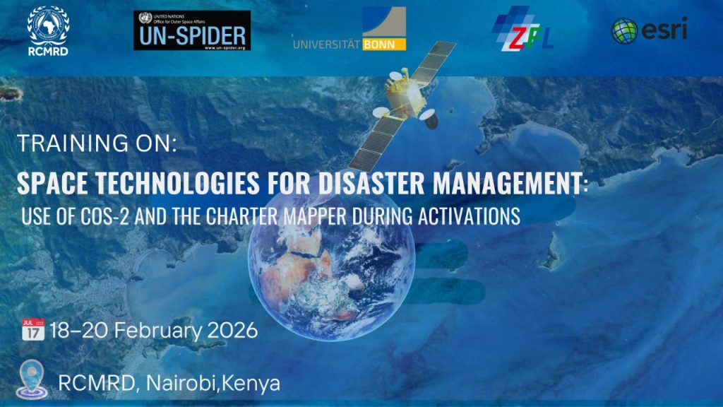
The Regional Centre for Mapping of Resources for Development (RCMRD) will host a specialised training from 18–20 February 2026 on the use of space technologies for disaster management. The programme will focus on the COS-2 system and the Charter Mapper tool during disaster activations.
Supported by the UN Platform for Space-based Information for Disaster Management and Emergency Response (UN-SPIDER), the Centre for Remote Sensing of Land Surfaces (ZFL) at the University of Bonn, and the International Charter: Space and Major Disasters, the training aims to strengthen regional capacity in East Africa.
Organisers say the initiative will enhance the use of Earth Observation (EO) and space-based solutions in disaster preparedness and response. Priority areas include stronger hydromet services, institutional capacity, and last-mile delivery, ensuring that warnings reach those most at risk.
This marks a significant step in advancing regional resilience, with RCMRD positioned as a hub for innovation and collaboration in disaster risk management.