Monitoring drought is vital for preparedness, planning, and mitigation. Knowing the current and emerging drought conditions supports decision-making in agriculture, water management, and disaster risk reduction and can ultimately save lives.
Many countries use national drought monitors, tools that track and assess drought conditions using indicators like precipitation, soil moisture, and temperature.
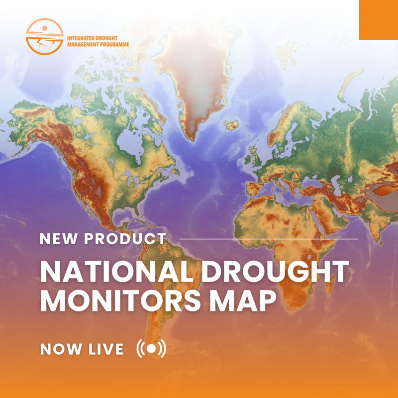
The new IDMP map displays national drought monitors across countries and territories worldwide, with links to resources where you can access up-to-date information on drought conditions in your area.
Status of National Drought Monitors
The map below displays an overview of national drought monitors identified across countries and territories worldwide. It showcases the presence and operational status of these systems, providing links to the available resources.
The information presented on the map is based on open-source internet searches and is intended solely for information-sharing purposes. It does not constitute official data provided by national governments or institutions. If a country or territory is marked as having “No national drought monitor identified” this does not necessarily mean that no such system exists. The map is a living resource and is continuously updated as new information becomes available.
If you are aware of any national drought monitor not currently reflected here, please contact us at droughtmanagement@wmo.int to help improve and update this information.
Explore the map: https://lnkd.in/ezKerCm9

